Ferry Lavrio Kimolos | Ships Greece | Best Price

Ferry Lavrio Kimolos | Ships Greece | Best Price

Book your ferry ticket Lavrio - Kimolos

Select your vehicles
Trailer vehicles
      Alternative ports
      Alternative dates
      Age of children on the day of travel?
      Animals

      Upcoming Departure Times Ferries Lavrio - Kimolos

      Best departures for the route Lavrio Kimolos to visit Greece
      These are the upcoming departures, but you can choose the period you like best.
      Route
      Departure
      Duration
      Lavrio ► Kimolos
      Blue Star Ferries, ship Default
      Fri 11/28 07:00
      15h 30m
      Lavrio ► Kimolos
      Blue Star Ferries, ship Default
      Fri 12/05 07:00
      15h 30m
      Lavrio ► Kimolos
      Blue Star Ferries, ship Default
      Fri 12/12 07:00
      15h 30m
      Lavrio ► Kimolos
      Blue Star Ferries, ship Default
      Fri 12/19 07:00
      15h 30m
      Lavrio ► Kimolos
      Blue Star Ferries, ship Default
      Fri 12/26 07:00
      15h 30m
      Lavrio ► Kimolos
      Blue Star Ferries, ship Default
      Fri 01/02 07:00
      15h 30m
      Lavrio ► Kimolos
      Blue Star Ferries, ship Default
      Fri 01/09 07:00
      15h 30m

      Ferries from Lavrio to Kimolos at the best price: compare schedules and fares

      Lavrio

      Information about Lavrio
      Laurio, or Lavrio, is a city located in the southeastern part of Attica, Greece. It is the capital of the municipality of Lavreotiki. [1] The city of Laurion was famous in classical antiquity for its silver mines (the Laurio mines), one of the main sources of revenues of the Athenian state, which formed the basis for the establishment of the Athenian hegemony on the Aegean Sea. The metallic silver was used above all for the minting of coins. He was famous for the poor treatment of slaves who worked in mines. It was a much less important port than the nearby Piraeus.
      It is located about 60 km south-east of Athens, south-east of Keratea and north of Cape Sounion. Laurion is located in a bay where the island of Makronisos is located (in ancient times called Helena). The port is positioned in the middle, and grid-like streets cover the residential area. The GR-89 highway crosses Laurio and ends south to Cape Sounion.
      Lavrio

      Kimolos

      Information about the target locations Kimolos.
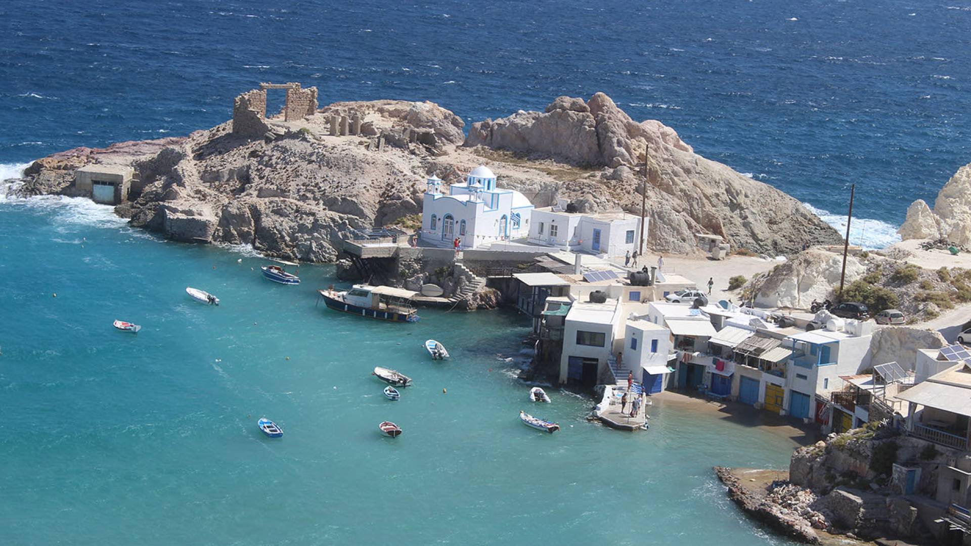
      Argentièra or Cimòlo (in Greek Kimolos) is an island of the Cyclades very close to Milos. Administratively it is a commune of the periphery of the Southern Aegean (peripheral unit of Milo). It is of volcanic origin, the climate is dry and healthy but its soil is not suitable for crops of any kind. Its inhabitants are dedicated to sheep farming and fishing. It was known in antiquity for its reserves of chalk and kaolin which was used to make porcelain. Its ancient name was Echinousa. Argentiera always followed the fate of nearby Milo. It was a Venetian fief and suffered numerous raids by pirates who completely destroyed it in the 18th century.
      It is 86 nautical miles from Piraeus.
      The homonymous municipality covers the territory of the island plus the uninhabited islands of Polyaigos, Agios Efstathios and Agios Georgios. The population, at the 2001 census was 769 inhabitants.
      Kimolos


      Customer service 5 days a week

      The booking centre is open from 9 a.m. to 7.30 p.m. and can only be contacted by email or via your user area.