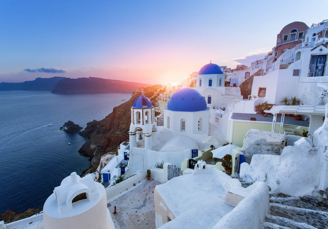
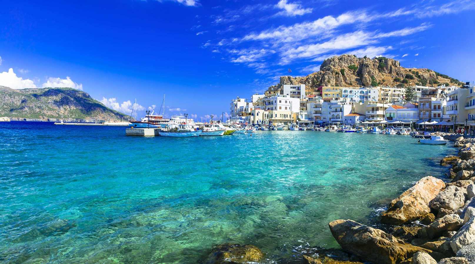
Ferries Santorini (Thira) Karpathos: schedules, prices and offers
Book your ferry ticket Santorini (Thira) - Karpathos
Upcoming Departure Times Ferries Santorini (Thira) - Karpathos
Best departures for the route Santorini (Thira) Karpathos to visit Greece
These are the upcoming departures, but you can choose the period you like best.
These are the upcoming departures, but you can choose the period you like best.
Route
Departure
Duration
Santorini (Thira) ► Karpathos
Blue Star Ferries - Hellenic Seaways, ship Default
Blue Star Ferries - Hellenic Seaways, ship Default
Wed 07/08 22:10
11h 5m
Santorini (Thira) ► Karpathos
Blue Star Ferries - Hellenic Seaways, ship Default
Blue Star Ferries - Hellenic Seaways, ship Default
Fri 07/10 23:50
12h 15m
Santorini (Thira) ► Karpathos
Blue Star Ferries - Hellenic Seaways, ship Default
Blue Star Ferries - Hellenic Seaways, ship Default
Mar 07/14 00:10
6h 55m
Santorini (Thira) ► Karpathos
Blue Star Ferries - Hellenic Seaways, ship Default
Blue Star Ferries - Hellenic Seaways, ship Default
Wed 07/15 22:10
11h 5m
Santorini (Thira) ► Karpathos
Blue Star Ferries - Hellenic Seaways, ship Default
Blue Star Ferries - Hellenic Seaways, ship Default
Fri 07/17 23:50
12h 15m
Santorini (Thira) ► Karpathos
Blue Star Ferries - Hellenic Seaways, ship Default
Blue Star Ferries - Hellenic Seaways, ship Default
Mar 07/21 00:10
6h 55m
Santorini (Thira) ► Karpathos
Blue Star Ferries - Hellenic Seaways, ship Default
Blue Star Ferries - Hellenic Seaways, ship Default
Wed 07/22 22:10
11h 5m
Santorini (Thira) ► Karpathos
Blue Star Ferries - Hellenic Seaways, ship Default
Blue Star Ferries - Hellenic Seaways, ship Default
Fri 07/24 23:50
12h 15m
Santorini (Thira) ► Karpathos
Blue Star Ferries - Hellenic Seaways, ship Default
Blue Star Ferries - Hellenic Seaways, ship Default
Mar 07/28 00:10
6h 55m
Santorini (Thira) ► Karpathos
Blue Star Ferries - Hellenic Seaways, ship Default
Blue Star Ferries - Hellenic Seaways, ship Default
Wed 07/29 22:10
11h 5m