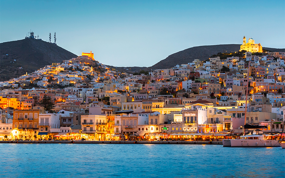
Information about Syros Siro or Sira is a Greek island, belonging to the Cycladic archipelago in the Aegean Sea. It is located at 78 nautical miles (144 km) south of Athens. It is a peripheral unit formed by the municipality of Siro-Ermopoli; most important center is Ermopoli. After the fall of the Western Roman Empire, Siro became part of the Byzantine Empire until 1204, when it was conquered by the Republic of Venice. In 1537 it was conquered by the Turks. During the dominion of Venice a strong Catholic minority had developed which obtained the protection of France and thanks to an agreement between the French king Francis I and the Sultan Suleiman the Catholic religious orders were protected. Although part of the Ottoman Empire, the island was granted a form of self-government]. After the 1821 war of independence, Siro became part of Greece. Ermopoli, the administrative capital of the Cyclades, is the capital of the island. The city was founded during the war of independence of 1821, when they came to Siro, which was a French protectorate, refugees from other islands that were under Turkish rule. The town developed very rapidly, becoming an important commercial and nautical hub of the Aegean in the nineteenth century. Ermopoli has a modern, neoclassical character, and is different from other Cycladic cities, which have a more traditional appearance. The most traditional village of the island is instead Ano Syros, which has buildings of 700 years, on a hill immediately behind and overlooking the natural harbor where Ermopoli was born. The northern part of the island is more mountainous and more barren, the one to the south greener and cultivated.
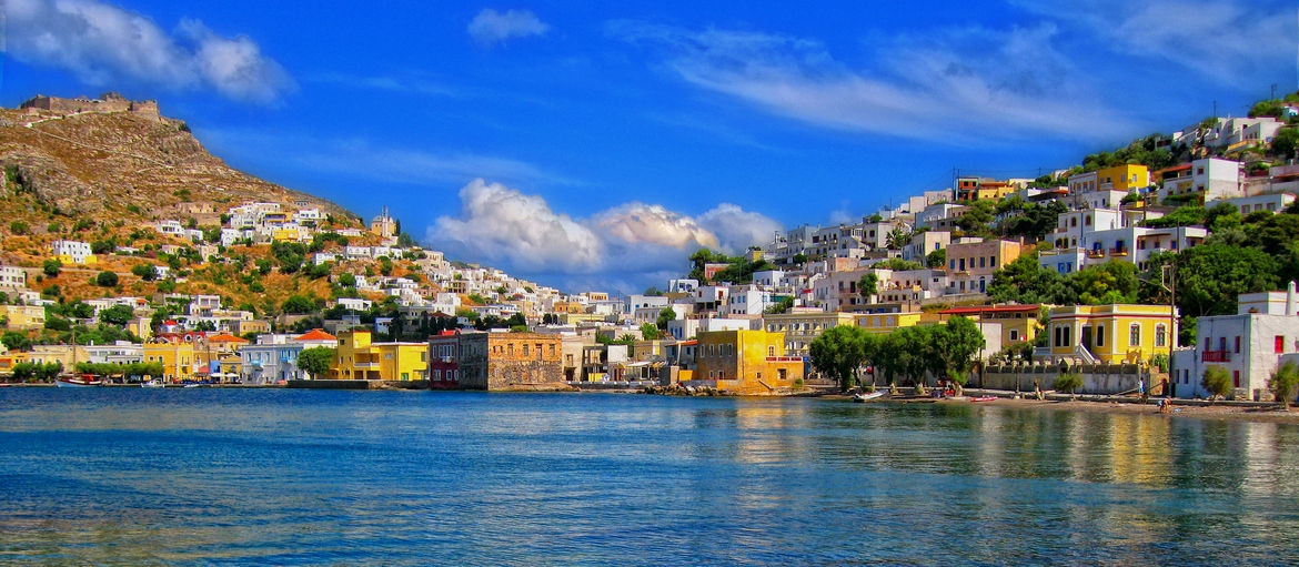
Information on Leros Leros is a Greek island and municipality in the Dodecanese in the southern Aegean Sea. It lies 317 kilometres (197 miles) (171 nautical miles) from Athens's port of Piraeus, from which it can be reached by an 8.5-hour ferry ride (or by a 45-minute flight from Athens). Leros is part of the Kalymnos regional unit. The island has been also called in Italian: Lèro and in Turkish: ?leriye. The municipality has an area of 74.172 km2 (28.638 sq mi). The municipality includes the populated offshore island of Farmakonisi (pop. 10), as well as several uninhabited islets, including Levitha and Kinaros, and had a 2011 census population of 7,917, although this figure swells to over 15,000 during the summer peak. The island has a coastline of 71 kilometres (44 miles). It is known for its imposing medieval castle of the Knights of Saint John possibly built on a Byzantine fortress. Nearby islands are Patmos, Lipsi, Kalymnos, and the small islands of Agia Kyriaki and Farmakos. In ancient times it was considered the island of Parthenos Iokallis and linked to the Hellenistic and Roman literature on Meleager and the Meleagrides. The administrative center and largest town is Agia Marina, with a population of 2,672 inhabitants. Other sizable towns are Lákki , Xirókampos , Kamára, and Álinda.
Customer service 5 days a week
The booking centre is open from 9 a.m. to 7.30 p.m. and can only be contacted by email or via your user area.